
In September 2024, Pakistan hosted its first-ever nationwide hybrid Mapathon, bringing together a diverse community of technologists, scientists, artists, designers, doctors, and civic enthusiasts. The goal was to empower citizens to document and map both urban and rural spaces, identifying civic issues impacting their communities. This collective effort resulted in valuable open-source data, accessible to the public via Open Street Map.
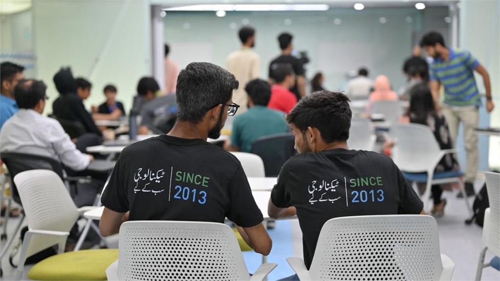
The hybrid nature of the event enabled participation from across the country. In-person sessions were held at Habib University, Karachi and our Calm Kaaj, Islamabad office. At the same time, virtual participation extended nationwide, breaking down geographical boundaries and creating a collaborative space for everyone passionate about mapping their communities for the greater good. The online sessions ran throughout the day to accommodate participants from different cities and time zones. This flexibility allowed individuals from all walks of life to engage and contribute at their convenience.
Why Did We Organize the Mapathon?
Mapping is about more than just geography—it’s about understanding our communities and improving the quality of life through access to data. This event aimed to:
- Empower citizens by giving them the tools and skills to map their neighborhoods and understand how local issues like waste management, traffic congestion, and accessibility affect their day-to-day lives.
- Create open data that can be used by local governments, NGOs, and civic groups to develop better solutions for city planning, public services, and more.
- Promote civic engagement and awareness by encouraging citizens to contribute to building a more transparent and inclusive Pakistan.
- Strengthen collaboration between diverse teams across Pakistan, bringing together people from multiple disciplines to collectively map out solutions.
Key Activities
- Training Sessions: Participants received hands-on training in mapping tools and techniques, along with an introduction to civic tech, which demonstrated how data can drive meaningful social change.
- Collaborative Mapping: Teams worked together to map civic issues such as environmental hazards, accessibility challenges, and local services, offering a clearer view of the urban and rural landscapes.
- **Live Sharing: **As participants mapped their neighborhoods, the data was continuously shared on Open Street Map, making it available for anyone interested in Pakistan’s civic and environmental challenges.
What did we learn?
The Mapathon also featured a range of engaging speaker sessions, where experts shared their knowledge on how mapping is shaping the future of Pakistan.
Shaji Ahmed introduced participants to NASA’s satellite imagery, highlighting it as an underutilized resource for addressing civic issues in Pakistan. Zaineb Makati from Habib University spoke about her work tracking Karachi’s minibus routes, while Namra Khalid, founder of Karachi Cartography, discussed her collection of 3,500 maps, some of which are now housed in the Library of Congress.
Participants also heard from Yasir Husain of the Climate Action Center, who detailed the use of historical maps to protect critical ecological sites, such as mangroves and the defense against encroachments in Kirthar National Park. Sophia Hasnain, a leader in data-driven urban solutions, gave an insightful talk on how air quality data can impact urban planning and improve environmental health.
The event also went global with the participation of Mikko Tamura from Humanitarian OpenStreetMap (HOTOSM), who joined online from the Philippines. Tamura emphasized the life-saving potential of open-source mapping in disaster response, stating, “We’re not just creating maps—we’re saving lives, empowering communities, and building a safer future for everyone.”
What Did We Achieve?
- Mapped dozens of neighborhoods across Pakistan, focusing on areas such as infrastructure, environmental concerns, waste management, and accessibility.
- Engaged citizens from a variety of domains, including technologists, civic leaders, artists, and students, fostering cross-disciplinary collaboration.
- Generated open-source data that will continue to benefit local governments, civic organizations, and the general public in their efforts to improve urban planning, services, and community well-being.
Map Roulette and Key Contributors
To make the Mapathon a fun and engaging experience, we added a gamification element using MapRoulette. MapRoulette is a tool designed to help improve OpenStreetMap data by offering small, easy-to-complete tasks called “challenges.” These tasks involve fixing minor mapping issues, adding details, or improving the accuracy of the map. The Mapathon saw impressive contributions from participants across diverse fields. Dr Qazi Kamran Amin from the Precision Medicine Lab (PML) stood out for mapping the highest number of points.
Close behind him were Shereen Khan from NUST and Aisha Usman from DOW University, who claimed second place. The KGS STEM Society, including Rayan Ali Khan, Faiz Iqbal, Syed Daniyal Qadri and Rayyan Jamil Khan, contributed by mapping over 3,000 points, further showcasing the power of collective effort.
Other participants brought unique perspectives, such as Faizan Khattak from Islamabad, who shared historic maps, including a striking 1952 map of Rawalpindi, providing a tangible reminder of Pakistan’s rapidly evolving urban geography. Dr Kamran of PML also shared a number of historic maps dating back to the 1880.
Uzair Ahmad, a leading contributor to OpenStreetMap in Pakistan, introduced the platform to new participants, helping many first-time mappers make meaningful contributions throughout the event.
We extend our heartfelt gratitude to everyone who participated and supported this event. We are especially grateful to Habib University for opening up their venue, Zainab Makataki and Maleeha Habib from Habib University for collaborating and streamlining all aspects for our shared vision for the future of Pakistan. Together, we’ve made a significant step toward understanding and improving our cities. The data generated during the Mapathon remains accessible on Open Street Map, and we encourage others to join future events as we continue mapping for good!
Stay tuned for upcoming events, and if you’re interested in getting involved or exploring the data, don’t forget to sign up for our newsletter to stay updated!